Convert your first file
This Guide converts a Shapefile to GeoPackage.
Tip
Just converting a file once? You don't need to save a Job.
You also do not need Transform or Python for this.
Before you start
You need a Shapefile. A Shapefile is a set of companion files that belong together, not a single .shp.
At minimum include:
| File | Role |
|---|---|
.shp |
Shapes |
.shx |
Shape index |
.dbf |
Attribute table |
Also include .prj when you have it. That file stores the coordinate system.
The simplest way to upload a Shapefile is to zip those files together and upload the ZIP.
Sign in, then use the Canvas steps below.
1. Add your Shapefile
Open Create.
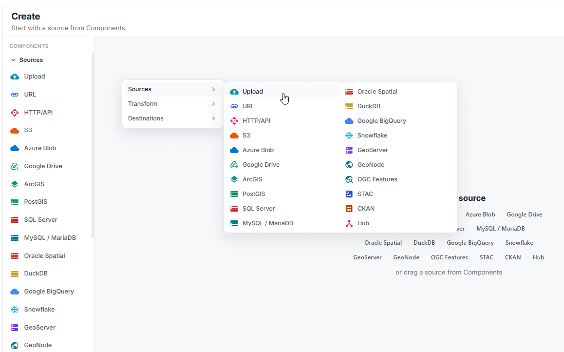
From Components, drag Upload onto the canvas — or drop the ZIP onto the canvas, or choose Choose a file.
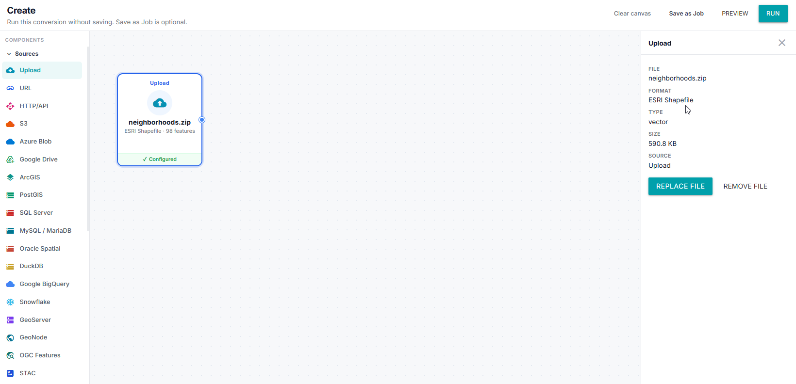
GeoJibe inspects the file after it is added. You should see the dataset name, format, and layers.
If the Shapefile is incomplete, you will see The Shapefile is incomplete. Zip the .shp, .shx, and .dbf together and try again.
2. Add Convert
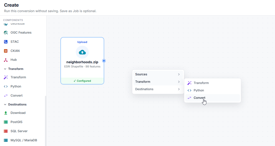
From Components, add Convert.
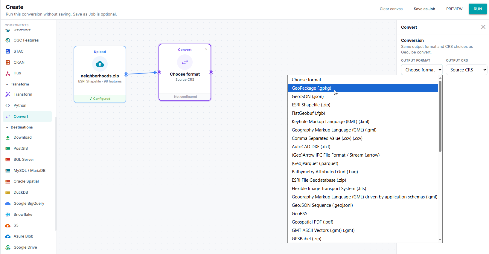
Click the Convert card to open Properties.
- Set Format to GPKG (GeoPackage).
- Leave CRS as Source CRS unless you also want to reproject.
Note
Transform is optional. If your data is already how you want it, you can go directly to the Destination.
3. Choose Download
Add Download from Components.
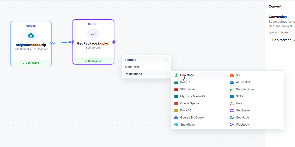
Download is the default Destination when you just want the converted file. You do not need a saved connection.
4. Run
Click Run.
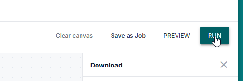
When it finishes, click Download.

You should get a GeoPackage such as neighborhoods.gpkg.
What happened
GeoJibe read the Shapefile, wrote a GeoPackage, and left the result ready to download.
Having trouble?
- The ZIP has more than one spatial dataset → zip only one Shapefile (and its companions).
- Fields look wrong later → inspect must finish before Transform can show fields. You can skip Transform for this conversion.
- You wanted a different format → see Convert a file.